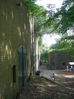
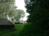
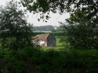
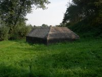
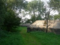
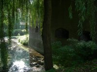
I'm planning two posts today. The first one will be with some pics from Fort "De Gagel" and the second post will be with pics from "Vesting Naarden", one of the best preserved fortified towns in Europe.
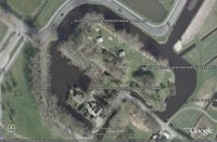
The first pic is a copied image from Google Earth. On this image you can see how the fortress looks from above with the moat and some of the bunkers. Google Earth is great. When I started to use it about 11 months ago there were still a lot of blur parts of Holland, but Holland is pretty much covered now.
There is not so much to tell about this fort. For some more information I refer to the URL. Nowadays part of the fort is used by a pigeon society and by radio amateurs.
No comments:
Post a Comment