Saturday, September 30, 2006

More Forts (8)

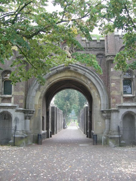
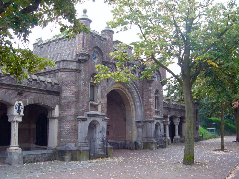
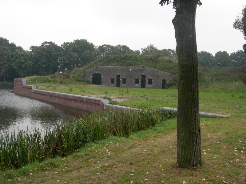
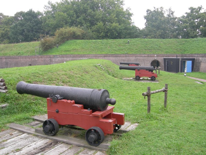
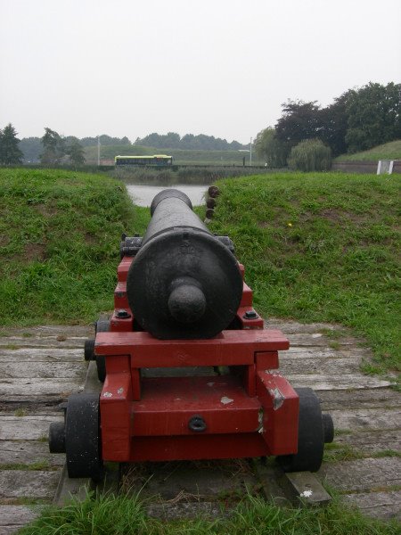
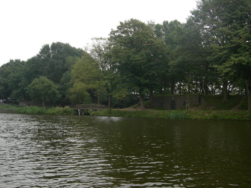
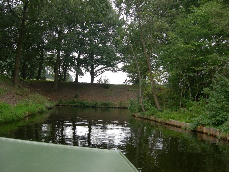
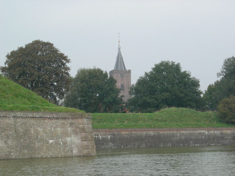
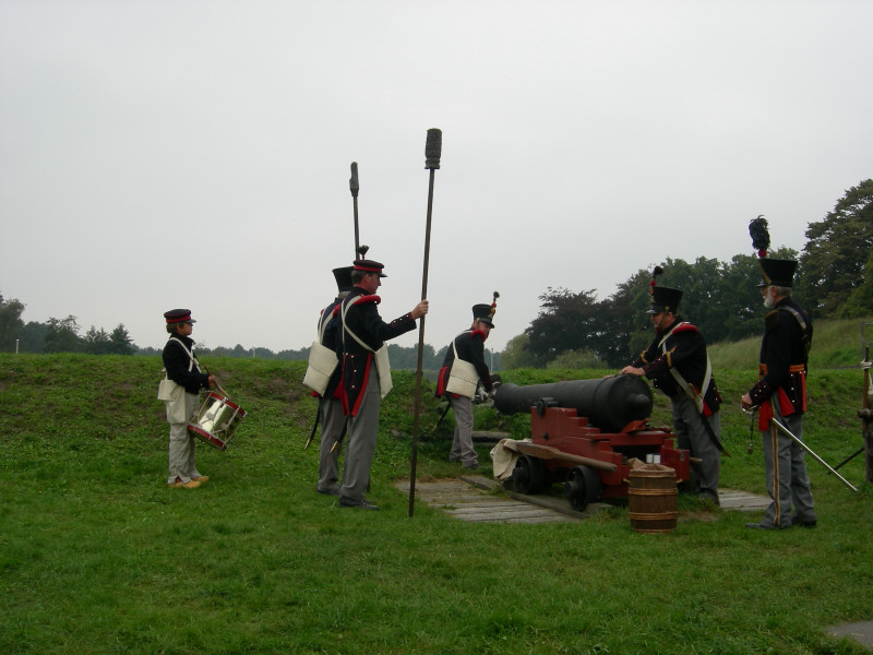
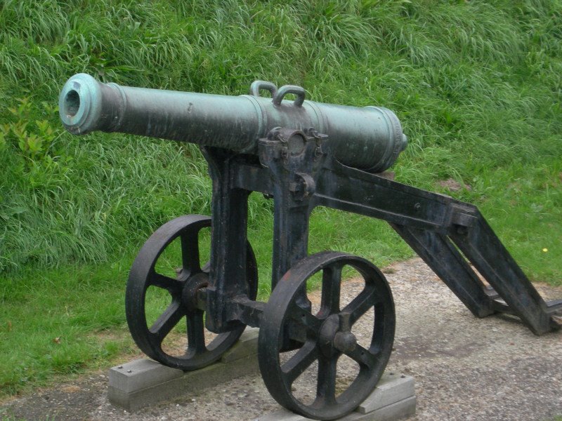
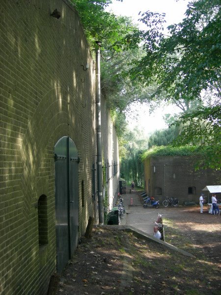
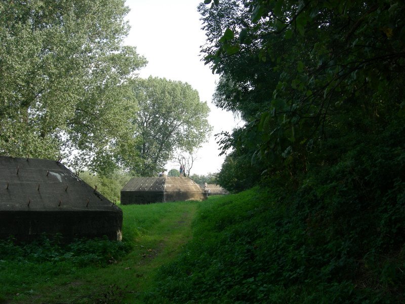
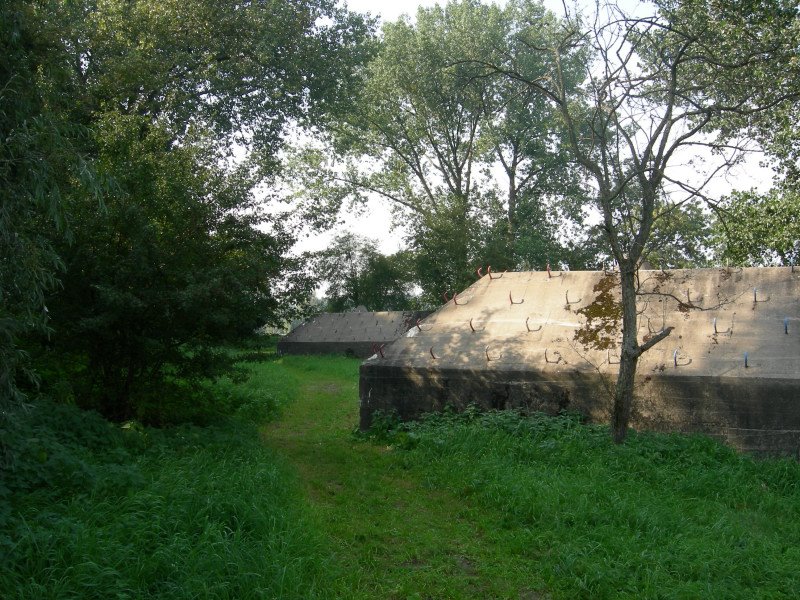
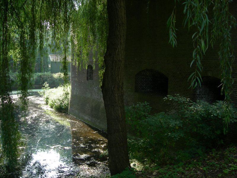
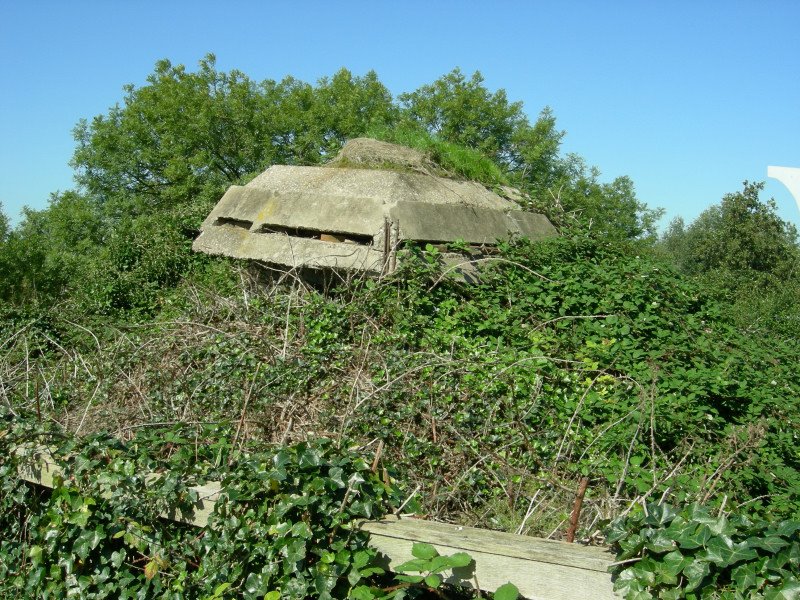
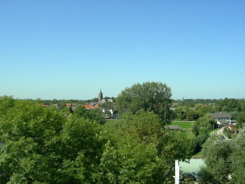
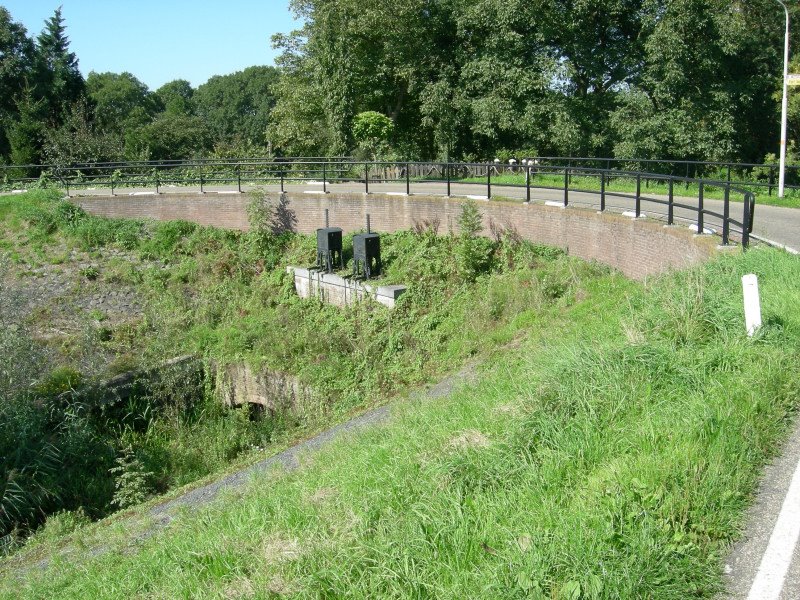
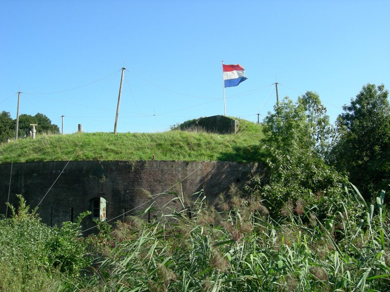
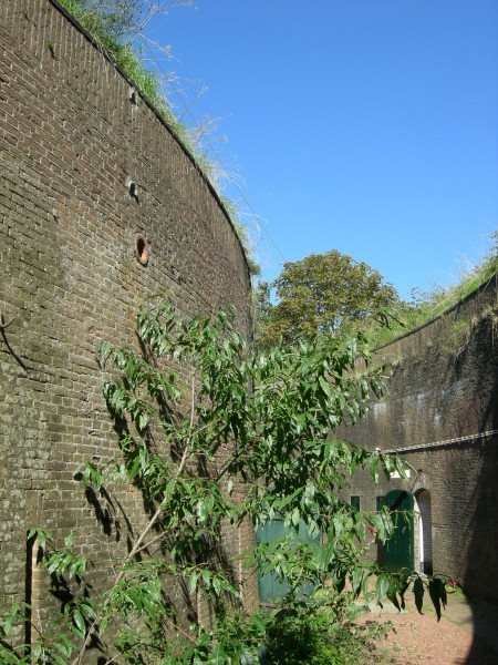
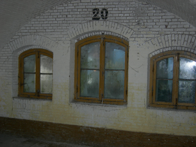
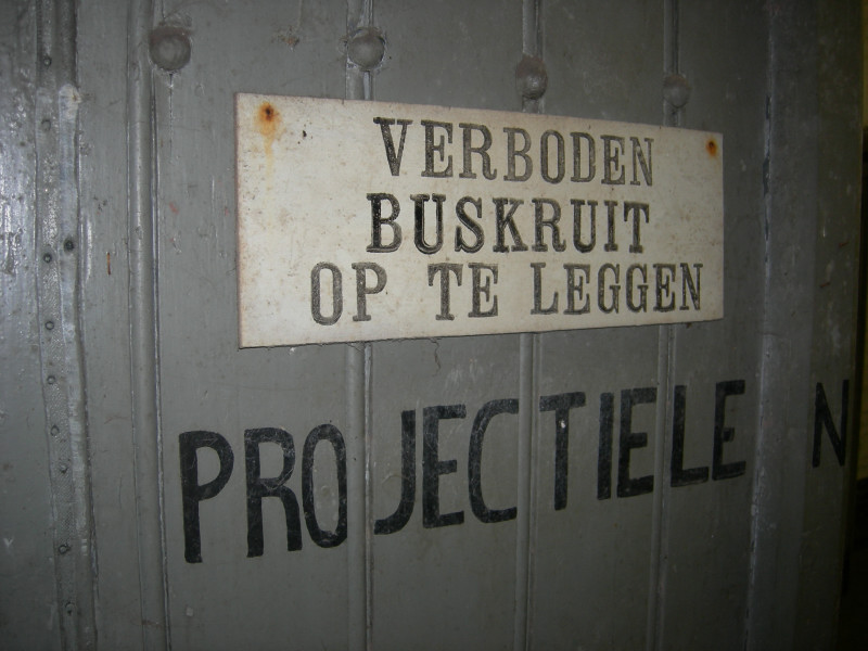
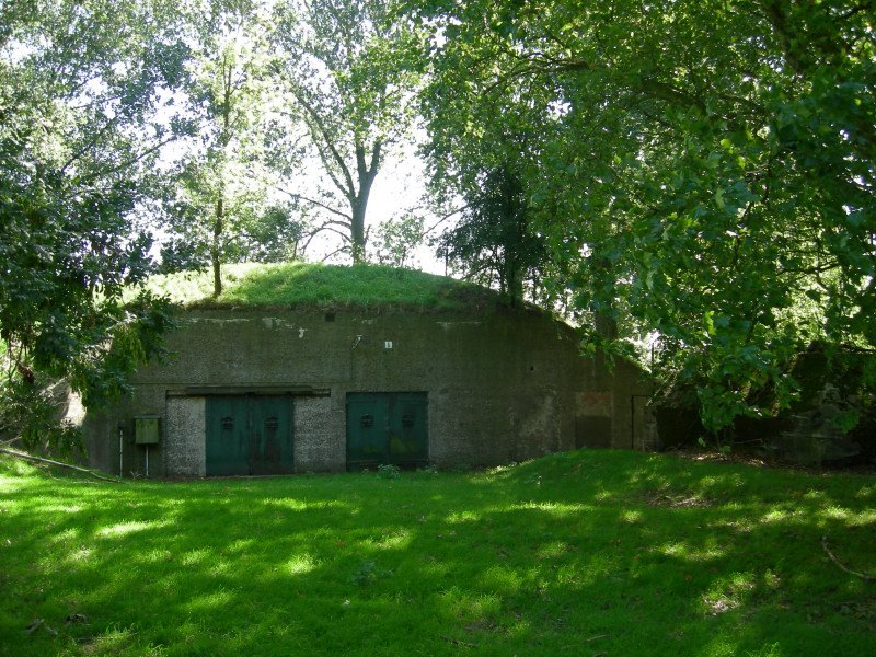
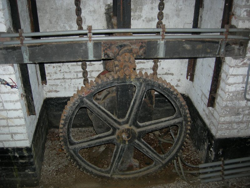
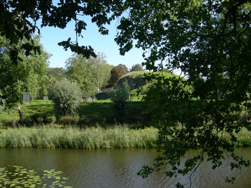
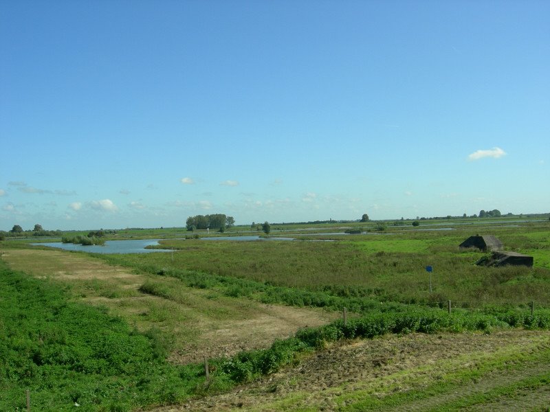
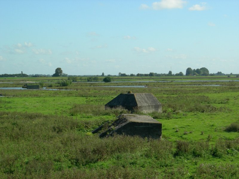
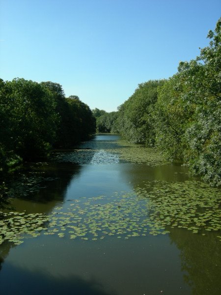
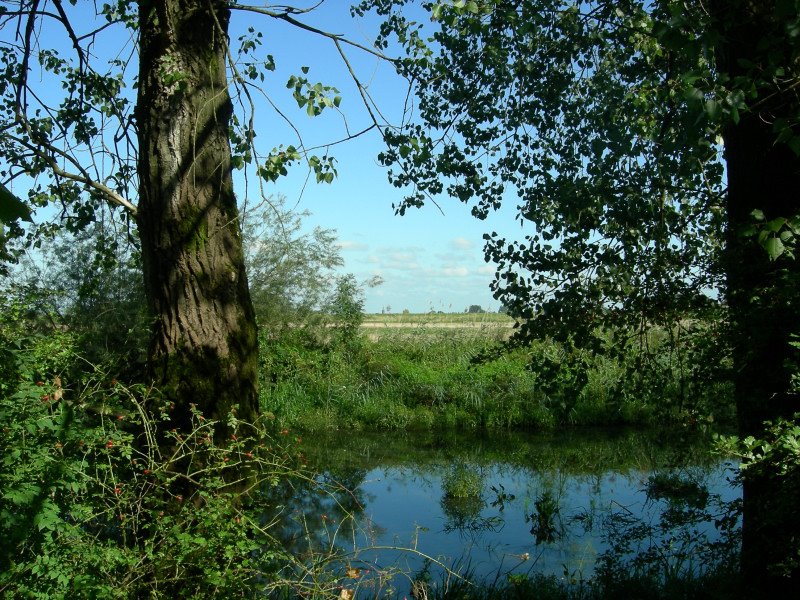
And now my second post for today with pics from the fortified city of Naarden, also part of the Dutch Waterline (Hollandse Waterlinie). It's a well preserved fortified town, one of the best in Europe and mostly intact. We went to the Netherlands Fortress Museum (Het Nederlands Vestingmuseum), located on a huge part of the city walls. You could wander through the tunnels, some exhibitions and around the walls. From the walls you had some nice views. There were also some demonstrations of an old cannon that was shot by some soldiers dressed in historical costumes. We also joined a trip on a small boat around the double moats around the town, which was very nice. We shot quite some pictures as you can see.

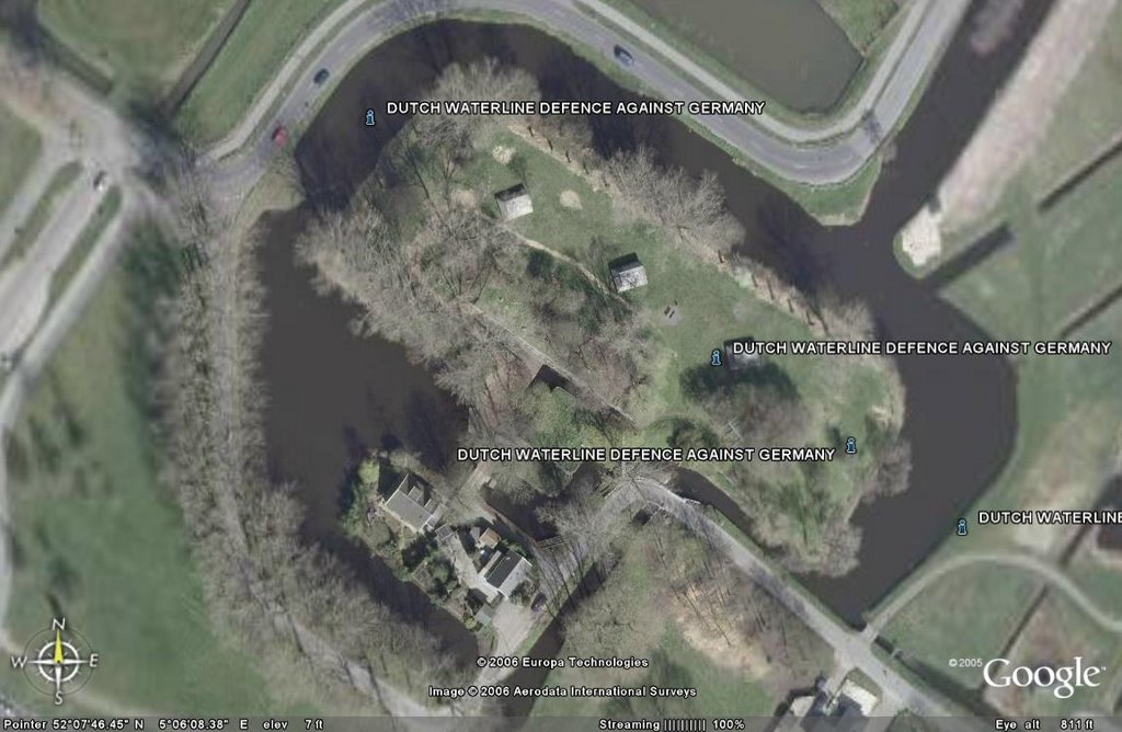
The first one is again a copied image from Google Earth. From above you can see the typical shape of the town with it's double moats and arrowshaped defensepoints.

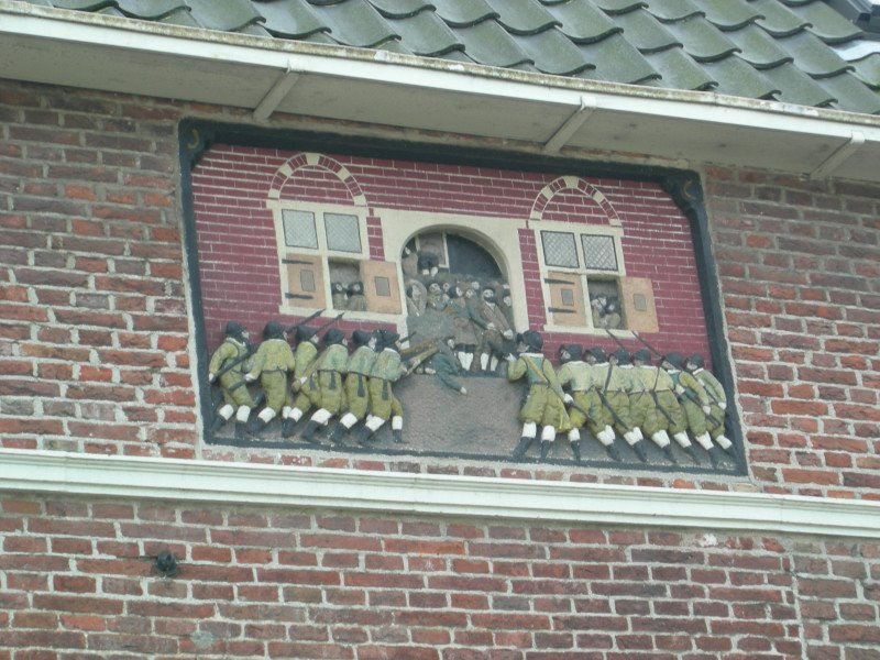
The second pic is a detail from the so called Spanish House in the town of Naarden. The image on the front of the house refers to an event that took place during the Eighty Years' war between Holland and Spain. After capturing the city Spanish troops massacred around 400 citizens in this house and continued killing another 400 in the streets. This was one of the reasons the Dutch decided that the fortifications of the city should be improved.

Hopefully the pics will give you a bit of an impression. Both the city of Naarden and the Fortress Museum are recommended. It was definitely a worthwhile visit.

Friday, September 29, 2006

More Forts (7)

I'm still almost two weeks behind with my postings of the fortresses that we have visited the past few weeks. But I will catching up, finally. The Fortresses Month is coming to an end, so tomorrow is the last day that we can visit the fortresses that opened up for the public during this month. After tomorrow it will be all quiet on the fortresses front.

I'm planning two posts today. The first one will be with some pics from Fort "De Gagel" and the second post will be with pics from "Vesting Naarden", one of the best preserved fortified towns in Europe.

The first pic is a copied image from Google Earth. On this image you can see how the fortress looks from above with the moat and some of the bunkers. Google Earth is great. When I started to use it about 11 months ago there were still a lot of blur parts of Holland, but Holland is pretty much covered now.

There is not so much to tell about this fort. For some more information I refer to the URL. Nowadays part of the fort is used by a pigeon society and by radio amateurs.

Monday, September 25, 2006

More Forts (6)

I'm still catching up with posting pics from the forts we visited the past weeks. Today pics from the last two forts we visited two weeks ago when our brother in law took us on a ride around the area of Leerdam where they live. In my former two posts you saw pics from around Fort Everdingen and Fort "Nieuwe Steeg".

The last two forts we visited that day with our brother in law were Fort Asperen and Fort Vuren. We didn't spent so much time on these two forts, so I didn't took so many pictures. At Fort Asperen we took a short walk around the fort, but didn't went inside. We went on top of the fort where you had a nice view over the area and over the village of Asperen. Fort Asperen also has an official website.

Nowadays Fort Asperen is used as an artcentre and through the years it has built up a certain reputation with that. Till yesterday the fort had an interesting exhibition made by the famous British filmmaker Peter Greenaway. The exhibition was called Fort Asperen Ark, A Peter Greenaway Flood Warning. Unfortunately we didn't had the time and possiblity to visit the exhibition.

Peter Greenaway is probably best known for his movie: "
The Cook, the Thief, His Wife & Her Lover"And the last four pics are from Fort Vuren. I took a little more, but most of them didn't came out that great, so I'm not going to bore you with that.
This picture was teken through a glass window. That's why you see some spots on it.

Sunday, September 24, 2006

More Forts (5)

Just pick up were I left a few day ago. Here are some pics shot on the same day as the pictures from fort Everdingen, which you can see in my former post. In this post I'll show some pics that I made at Fort "Nieuwe Steeg", near the village of Asperen and the city of Leerdam. Steeg is de Dutch word for (small) alley.

It was the first time ever that this fort was open to the public. We had a half hour guided tour and after that we wandered around parts of the fort ourselves. The interesting thing about this fort was that in case of inundation (flooding) the fort would be completely surrounded by water, just like an island.

Here are some of the pics.

BTW, Wikipedia also provides some backgroundinformation about the "Hollandse Waterlinie" (Dutch Waterline).

Part of a hand driven ammunition elevator
The key cabinet with all the keys of the different buildings.

Tuesday, September 19, 2006

More Forts (4)

Now some pictures from 11 days ago when our brother in law took us by car to some forts of the "Hollandse Waterlinie" near where he and my sister and my parents live. Our first goal was Fort Everdingen. There was a guided tour around the fort of one and a half hour. We couldn't have a look inside the fort, because the fort is still in use by the Ministry of Defense. The Explosives Ordnance Disposal Command of the Royal Netherlands Air Force is using the complex until 2007, so probably after 2007 the fort might be open to the public.

The guided tour was done by the author of a book about the "Hollandse Waterlinie", that was published 4 years ago. Coincidentally I gave Noriko that book two weeks earlier for her birthday. It was an interesting tour, especially because the author of the book told a lot of interesting details. The fort is located at the river Lek. The tour went through the river forelands which contains some nice typical Dutch landscapes.
Along the dyke towards the fort you can see bunkers or "group hiding places" as they are called in Dutch.
Here you see an inudation sluice that could let water in and out of the flooded areas.
If you look carefully you can see the signboards which says 300, 600 and 1000 metres. These signboards mark the distance from the fort. Because the forts needed an open line of fire, that's why the building of any obstacles, houses etc.. was regulated by the Prohibited Areas Act ("Kringenwet"). According to this law building within 300 metres was not allowed. Between 300 and 600 metres it was only allowed to built in wood. That's why you still find wooden houses near some forts. Between 600 and 1000 metres you could build in stone, but in times of war or threat of war these buildings could be demolished without any compensation.
The same view through a concrete military observationpoint. The low bunker is from the First World War and the pyramid shaped bunker was built short before the Second World War.
The rest of the pictures from the other forts that I shot that day I will post later this week.